I always feel like the summer flies by in a blink and I am never able to complete as many hikes or camping trips as I would have liked. This year, Garrett and I made it a priority to go hiking whenever we both have a free day or even a few spare hours in the afternoon. It was a surprise when we both realized that we didn’t have plans on a random Sunday in June and we quickly decided to head out to the mountains. Since we made these hiking plans super last minute (that very morning!) We were looking to do a hike near Calgary. I was also wanting to do a hike that I hadn’t done before so I quickly decided on Porcupine Ridge as it takes less than an hour to get to the trailhead from our home in Cochrane, Alberta. This hike had been recommended to me by several friends and we were excited to see what Porcupine Ridge was all about!
There are affiliate links in this post. If you make a qualifying purchase through one of these links, Wander Woman Travel Magazine may receive a small commission at no extra cost to you.
Table of Contents
Getting to the Trailhead
As we started to drive out to the mountains, I looked up Porcupine Ridge on All Trails in order to get directions to the trailhead. If you use the All Trails directions it will take you to the Wasootch Creek Day Use Area where you will need to hike an extra 1 km to get to Porcupine Creek and start the hike. I didn’t mind this option as the extra hike was a flat and peaceful walk through the forest. The other option is to drive directly to Porcupine Creek by heading South on Highway 40 for 16.5 km. Either way, I highly recommend downloading the trail map for this hike as it can be confusing to find the correct trail without it.
Related: Interested in more hiking in Kananaskis? Read our post 10 of the All-Time Best Hikes in Kananaskis Country.
Porcupine Ridge Hike Description
From Porcupine Creek, the hike is approximately 9.2 km (5.7 miles) with 713 meters of elevation gain. If you start your hike from Wasootch Creek Day Use Area as we did, you will be hiking 10.8 km with 904 meters of elevation gain. This hike is a challenging hike but the trail was in good condition and is quite popular. It took us around 5 hours round-trip to complete this hike.
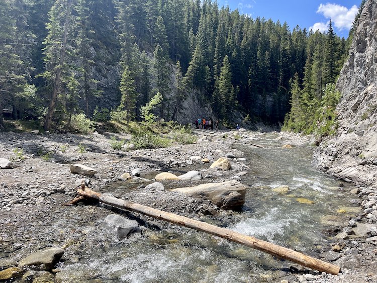
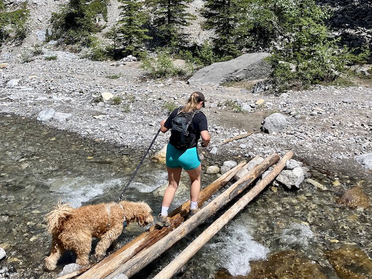
The most confusing part of this hike is the first portion where you follow Porcupine Creek in order to get to the base of Porcupine Ridge. Starting from the bridge you will head South following the creek, you will need to cross the creek several times as the trail ends on one side and continues on the other. There were usually logs positioned to carefully cross over but it might be wise to bring water shoes or a spare pair of hiking socks. Hiking poles would also help a great deal with balancing across these logs and rocks. Garrett lost his balance at one point and ended up soaking one of his feet, resulting in him hiking up the mountain with a damp foot. Bummer. Eventually, you will come to an area where the river forks in two different directions. In the center will be where the ascent begins.
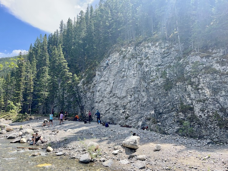
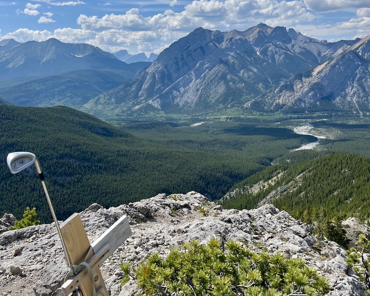
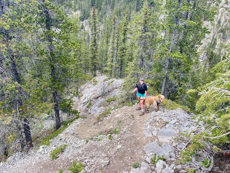
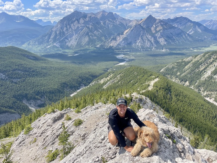
The hike is quite steep for the first hour so expect to get your sweat on. After about an hour of hard work, you’ll reach a clearing and this is where the gorgeous views of the surrounding mountains can be seen in full force. The next portion will be a little easier so enjoy it while it lasts! Continue up the trail and eventually, you will get to a memorial with a golf club and a spectacular viewpoint. We stopped for lunch here before continuing on as it was decently sheltered from the wind.
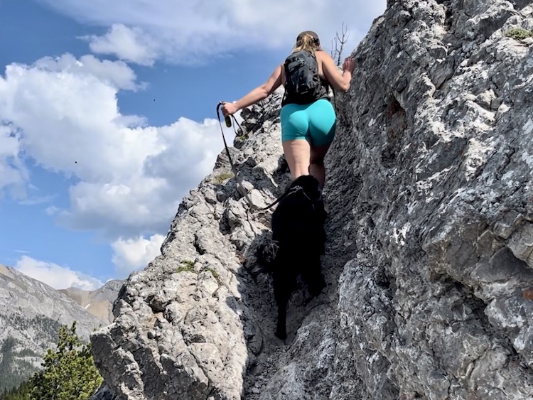
The next part looked scarier than it was. There is a crevice that you must shimmy up to get onto the ridge. I was worried about our dogs but they did it with no problem and it was a short scramble (about 5 meters). After this, you can continue along the ridge to get to the summit. I’ll be honest we didn’t continue to the true summit as the exposure made us nervous and we were happy with the views from where we were at. Regardless, of whether you make it to the very top or only part way up this hike was undeniably gorgeous and the trail was relatively easy to follow.
Is Porcupine Ridge Trail Dog Friendly?
We brought both our pups up this trail and they did really well. It was Bowie’s first summit hike and she did amazing. Dogs must be kept on a leash at all times and make sure to pick up after your pets. I was worried about the dogs on the short scramble section but they both tackled it like pros! The creek at the start and the end of the hike is a nice spot for them to have a drink or a swim but I definitely recommend you bring spare water for the dogs as the hike is quite exposed. I really like this collapsable dog bowl.
Important Things to Bring Hiking
It’s always important to be prepared while hiking in the Rockies. Here is a list of hiking essentials:
- A good pair of hiking boots. I like these lightweight Osprey boots.
- More than enough water and snacks.
- Sunscreen and insect repellent.
- Bear Spray.
- A lightweight first aid kit.
- Hiking poles (optional but can be very helpful).
- A windbreaker/rain jacket. This is a great Columbia jacket.
Lastly, don’t forget that to visit Kananaskis you need to purchase a Kananaskis Conservation Pass. You can purchase one online or by visiting the Barrier Lake Visitors Centre.
Where to Stay near Porcupine Ridge
There are several great accommodation options near the trail. You can stay in Kananaskis Village or Canmore. Here are some of our top recommendations:
- The Kananaskis Mountain Lodge is a great luxury option located in Kananaskis Village.
- Mount Engadine Lodge is another top pick in Kananaskis Village with a more rustic feel.
- Blackstone Mountain Lodge in Canmore. It’s near downtown and has an outdoor pool and hot tub.
- The Malcolm Hotel in Canmore is close to downtown and has a gorgeous luxury rooftop pool.

1 Comment
Greg Olsen
Great post Kelsey! Looks like a great hike.